MGRS + UTM
Work with military grid references and UTM coordinates in the same field workflow.
Buster Studios / 01
Buster Studios builds practical field and work software. TerraTac is live on Android; an off-roading app is in the works; and the studio is exploring construction scheduling assistance apps.
Studio focus
TerraTac is the live product — maps, land context, and ballistics for the field. Next up: an off-roading app in development. Longer look: construction scheduling assistance apps, still early exploration.
Designed byMGRS/UTM maps, live BLM/public-land status, GPS track-back, night vision, and G1/G7 ballistics with range rings — free with ads.
Field note: Phone GNSS is typically ~5–30 m. The compass can be affected by metal. Ballistics are model estimates — confirm zero with live fire. Land data is approximate — verify regulations.
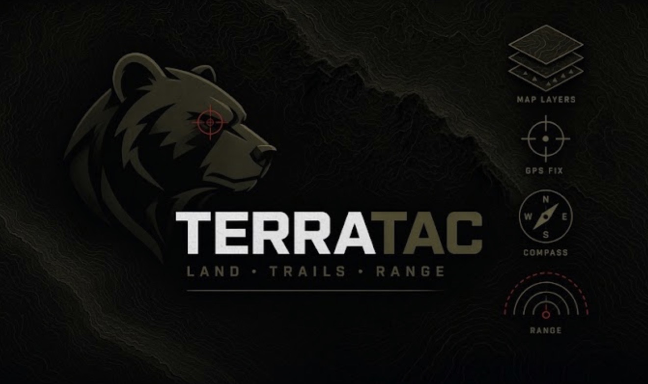 GRID
GRIDWhat’s inside
Designed to put the right context in reach without pretending a phone replaces field judgment.
Work with military grid references and UTM coordinates in the same field workflow.
See live BLM/public-land context while you plan and move.
Model trajectories with range rings for a clearer picture of the shot.
Keep a route home when the trail is less obvious on the way out.
Shift the display for low-light navigation and late returns.
Core field tools stay accessible without a subscription wall.
Ready when you are
Download from Google Play and verify the details that matter in the field.